


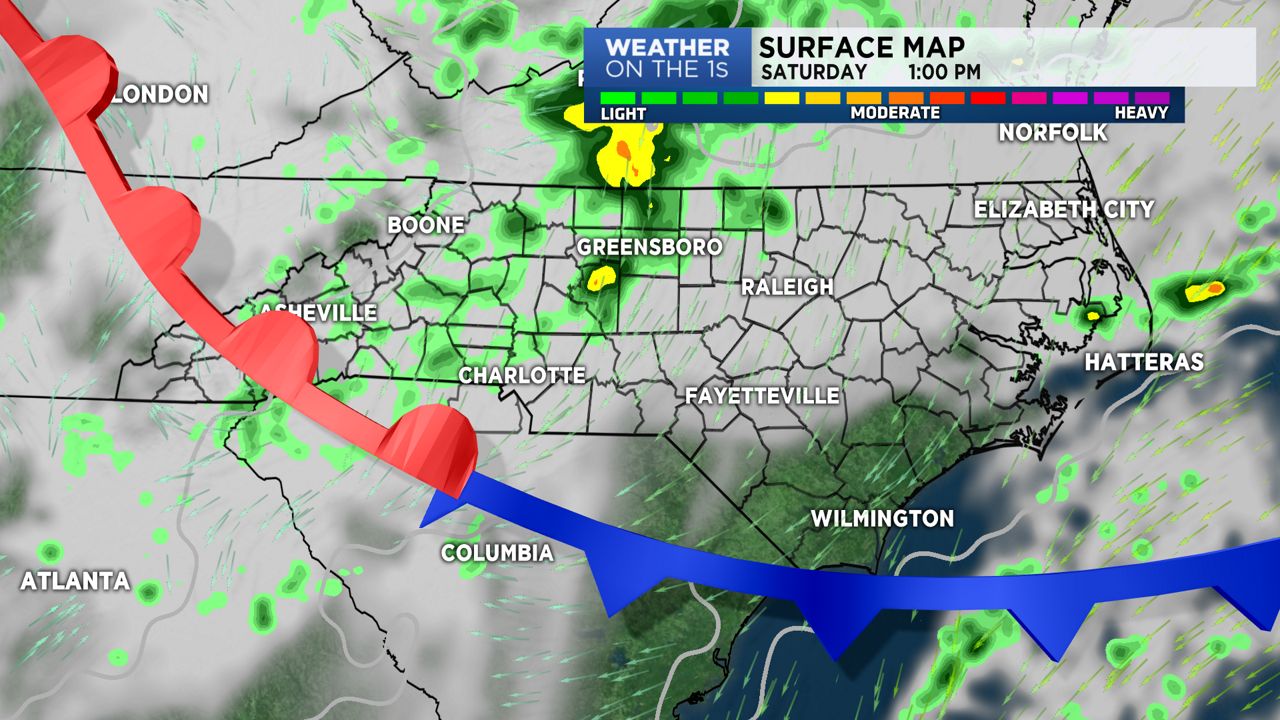
NORTH CAROLINA -- A backdoor cold front will push through the state overnight and early Saturday. A weak wedge scenario will set up as high pressure over the Northeast feeds into the equation.
For the Triad and Charlotte region, look for a cloudy to mostly cloudy sky Saturday with temperature in the mid 60s for Charlotte and mid 50s in the Triad. Periods of patchy precipitation will be possible, but I don't see this as a complete washout.
The foothills and mountain zones will be dealing with clouds, and a better chance for a soggier scenario as a disturbance, aloft, lifts across the area. Heaviest of the rain, will likely play out overnight and early Saturday morning. Rain chances should be diminishing by later Saturday afternoon.
All areas should see gradual improvement Sunday with the wedge scouring out as a warm front moves through. Temperatures will rebound into the upper 60s and lower 70s across the Triad and Charlotte zones (respectively). Mountain counties should see temperatures pushing the upper 50s to lower 60s.