


Cold temps filter across the region Wednesday as our cold front will be East and out. Rain will diminish and we may see a second slug of moisture later Wednesday evening brining some light precip across the Piedmont. Mountains probably won't get in on the moisture dance. But, if they do, some light snow is possible up that way.
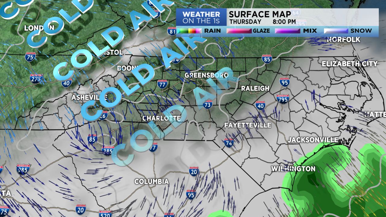
Thursday brings the second round of cold air which will step our daytime high temps into the mid 40s through Sunday; mountain folks in the mid to lower 30s. Overnight lows across the Piedmont will work into the mid to upper 20s by the weekend. Mountain counties can expect lows in the upper 10s to lower 20s.
Yet another round of moisture appears possible Friday into early Saturday. For the High country, snow, for the Charlotte region, mostly a cold rain with a few wet flakes of snow mixed in. Areas near the I-40 line could see a light dusting on grassy surfaces. It should be noted, that the mountains counties could continue seeing some upslope snow showers through early Sunday morning.
Modeling continues struggling with moisture or not, and temperature thicknesses. It still appears we won't have a "dedicated" engine to continually feed the cold air needed aloft, for snow, across the Piedmont. Much as yesterday, this just isn't the set up for a good snow event for areas outside of the Mountains.