


The cold air we’ve been talking about has finally arrived, and it is going to be with us for a while.
Not only is it going to be chilly, but we are also settling into a wetter weather that will last through the end of the week.
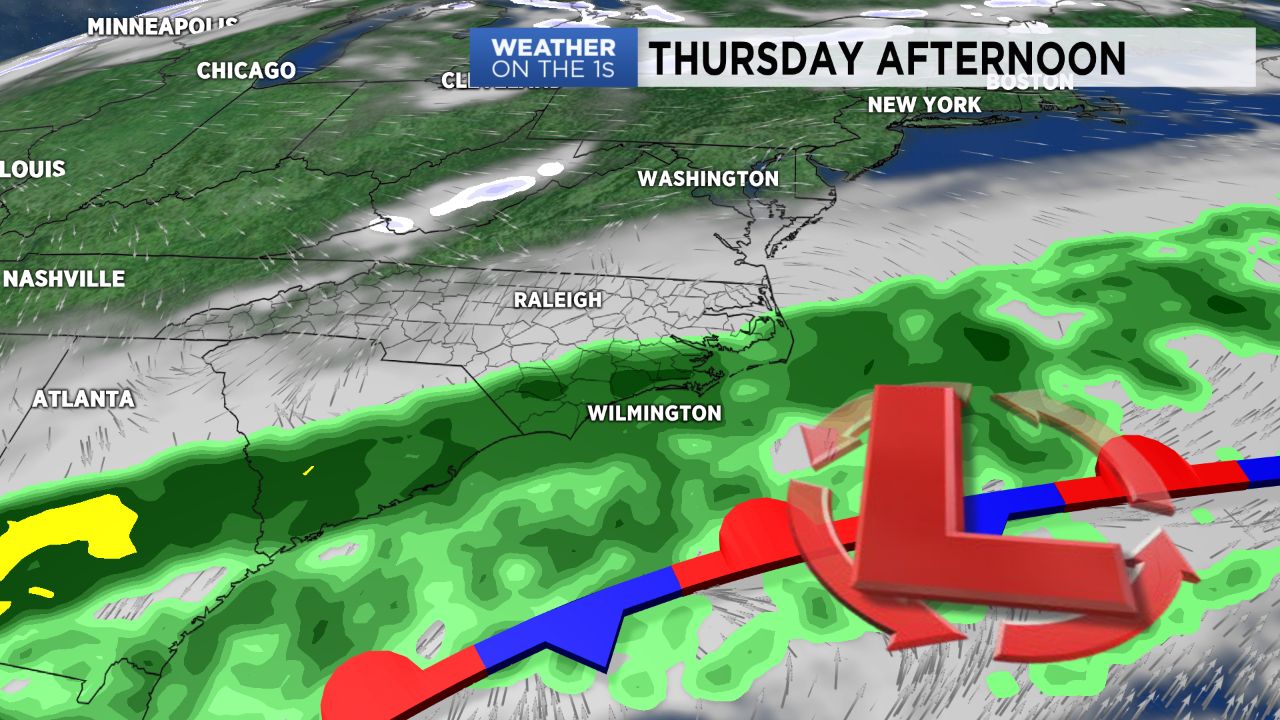
Showers along the coast Wednesday night could build back inland into portions of central North Carolina Thursday.
Most of those showers may stay just south and southeast of Raleigh.
Only a few spotty showers are expected around the Triangle Thursday. Highs will only be in the upper 40s throughout the day.
Our chance for rain across central North Carolina increases as we head into Friday. Cold air will be well in place at the time, but it should be just warm enough for Friday's precipitation to mainly fall as a cold rain. Temperatures will range from the upper 30s in the morning to just the low and mid 40s in the afternoon.
Another push of cold air will arrive Friday evening as the chilly rain is coming to an end. If the precipitation hangs on long enough, the rain showers could mix with or change to light snow before ending in central North Carolina.
We likely will still be above freezing at that point and with the ground temperatures so warm, accumulation is not likely.
A light dusting cannot be ruled out on grassy surfaces, north and west of the Triangle including around Roxboro and the Triad.