


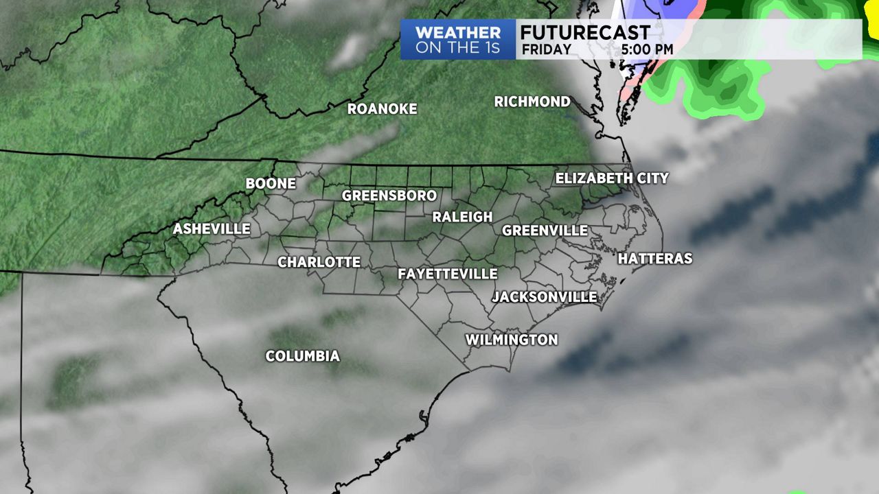
After a beautiful weather day on Thursday, we'll end the workweek with a few more clouds on Friday along with slightly cooler daytime highs.
Low pressure will move across the Carolina during the night. This will help produce a few clouds. A southwesterly flow from the Gulf of Mexico, will keep a few clouds over the region on Friday.
A new area of high pressure will build into the state from Friday night into Saturday morning. This will decrease clouds for Saturday. Temperatures will be a little cool as we start the weekend but we'll warm-up into Sunday. As high pressure slips off the coast, southwesterly winds will develop. This should set the stage for above average temperatures for Sunday afternoon.
Our next chance of showers arrives by Sunday night and Monday.
Watch Spectrum News for your latest local forecast.