


Record breaking cold in many cities this Sunday morning, one more cold day then a warm up this week. Arctic high pressure over the southeast US brought cold dry air, clear skies and light winds allowing a single digit lows in many places, even a few sub-zero readings.
Some of the record lows across the state:
Low this morning Previous record low
- Raleigh 4 9 in 2014
- Fayetteville 12 12 in 2014
- Wilmington 12 16 in 1884 & 1979
- New Bern 8 17 in 2014
- Cape Hatteras 19 19 in 2014
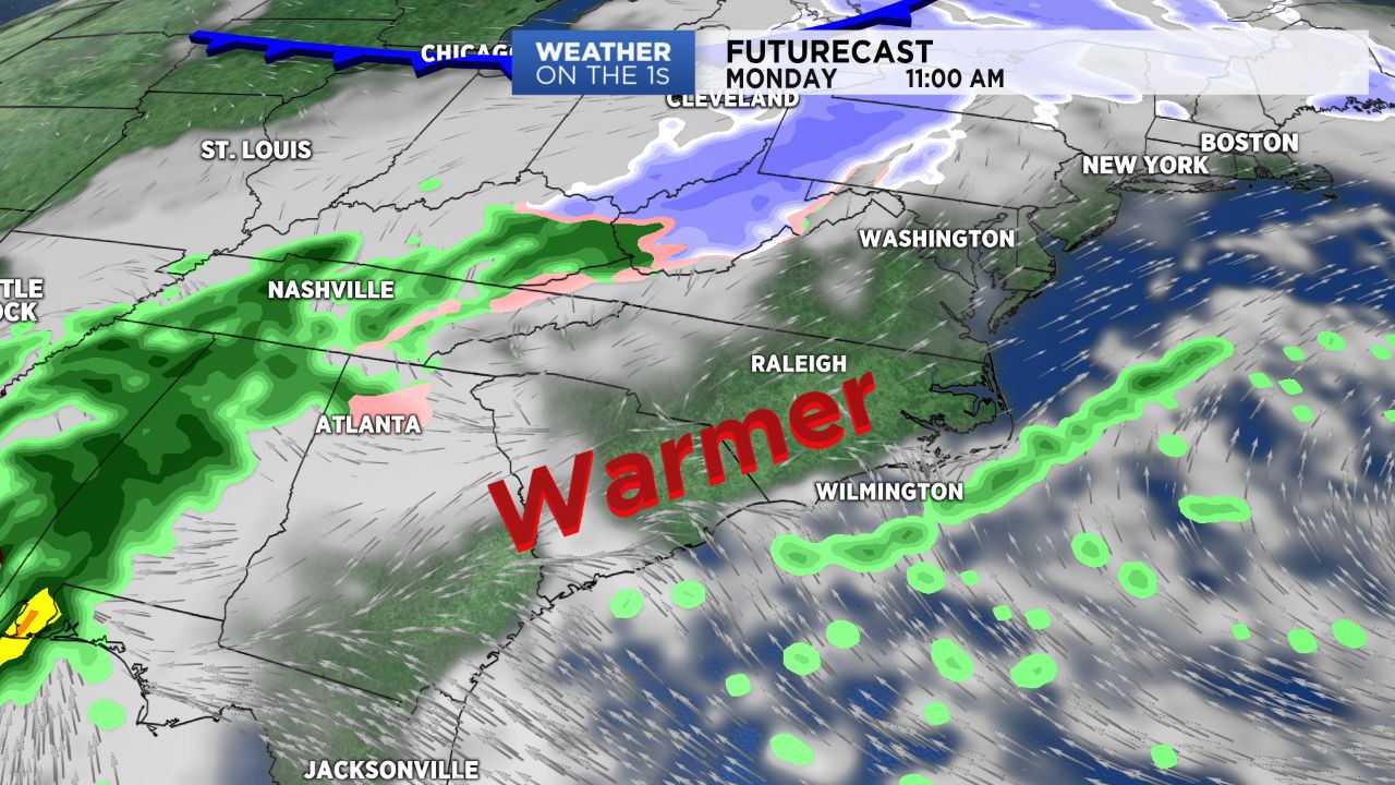
We’ll see high clouds increase across the region Sunday night helping to keep temperatures from dropping much below the mid-teens for Monday morning. Then afternoon temperatures will climb into the 40s in spite of skies becoming mostly cloudy. We’ll see highs in the 50s Tuesday and Wednesday, warming into the low 60s for Thursday and Friday. With that warmer air we will see scattered showers for Thursday, Friday and Saturday.