


AUSTIN, Texas - One of the most active winter seasons in at least a decade still might have more to offer Texas in the form of wintry precipitation as another polar cold front moves through this weekend.
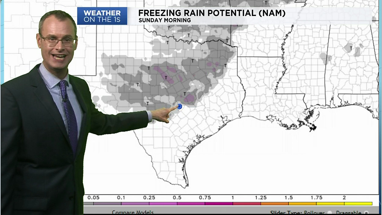
For several days, computer models have been honing in potential freezing rain on Sunday...some of which might impact travel in our own region.
The cold front is currently timed to arrive north to south across the area late Saturday night or very early Sunday morning.
As temperatures in Austin and San Antonio are expected to remain above freezing all weekend, it's going to be a long shot as far as local impact yet, because we're talking ice, we want to make sure you area aware of the situation well in advance.
The worst of it will likely be well north and west of the Capital City on Sunday morning yet at least one reliable model indicates potential freezing rain accumulations (a trace or so) as far south as the Round Rock area as well as in the Hill Country.
Check out the above video for the latest from Chief Meteorologist Burton Fitzsimmons in the weather center, then be sure to watch for updates on Weather on the 1s' on TV and/or the live stream between now and Sunday morning.