


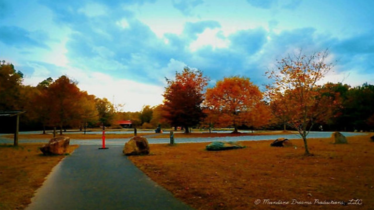
It will not feel much like November for the next several days. Warmer than normal temperatures are expected in much of central and eastern North Carolina through early next week.
With a mix of clouds and sun, high temperatures will warm to the mid and upper 70s Thursday. Lows will only drop to the 50s late Thursday night into Friday morning.
Friday will be the warmest day of this week as plenty of sunshine will allow highs to top out around 80.
A cold front will move toward into the state from late Friday night into Saturday. The Piedmont could see a few sprinkles of rain late Friday night from the front, but most of the state will stay dry. As the front crosses the state Saturday, high temperatures will range from the low and mid 60s northwest of Raleigh to near 70 in Raleigh to the mid and upper 70s across the Sandhills and southeastern North Carolina.
Dry weather will continue into Sunday with highs across the region in the mid to upper 70s. Many locations may hit 80 again on Monday.